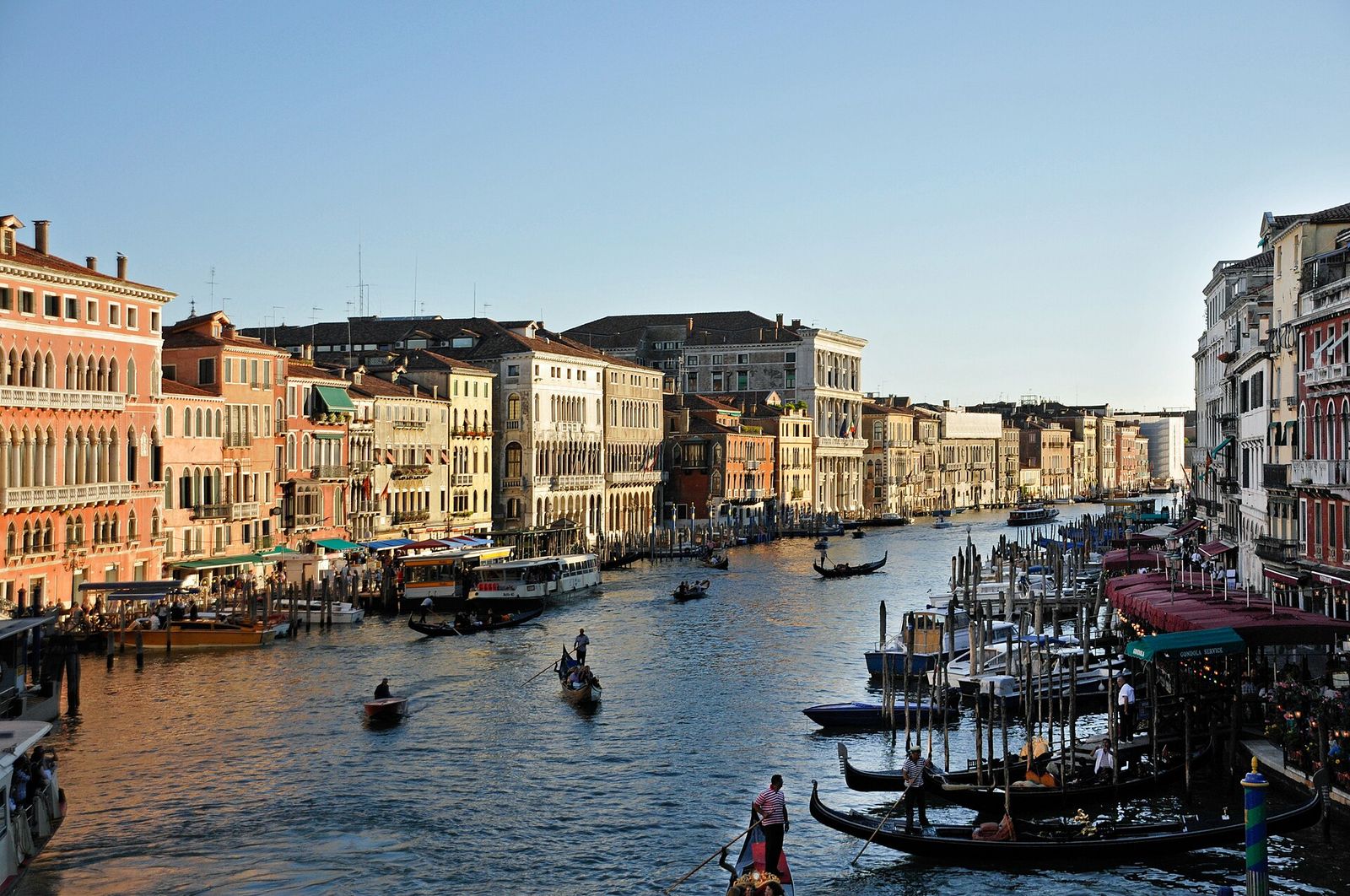
The Grand Canal seen from the Rialto Bridge, lined with palaces, gondolas and mooring poles in late-afternoon light
The Grand Canal from the Rialto Bridge

Canals, tides and islands

A city built on water

Venice stands on more than a hundred small islands in a shallow, tidal lagoon. This guide explains how its canals, bridges, tides and islands fit together, and how to move through them on foot and by boat.

Start with the Grand Canal See the islands

Start here

Water is the street plan

In Venice the water is not scenery. It is the street plan, the delivery route, the drainage system and, twice a day, the clock.

Most cities grew beside a river. Venice grew in the shallow lagoon where several rivers once met the Adriatic. The first settlers built on the firmest patches of mud and sand they could find, drove wooden piles into the clay below and laid stone and brick on top. Over the centuries those patches were joined, banked and drained until they read as one city, cut into pieces by canals that still carry boats, goods and the tide.

This site is written for visitors who want to understand what they are looking at. It starts with the Grand Canal and the smaller rii, explains the lagoon and the high tides that flood St Mark’s Square in the colder months, and then crosses the water to the islands: Murano and its furnaces, Burano and its painted houses, quiet Torcello, the long sandbars of the Lido and Pellestrina, and Giudecca and San Giorgio across the basin from the Doge’s Palace.

Everything here is independent and non-commercial. We sell nothing and recommend no businesses. Where details change from season to season, such as timetables and opening hours, we point you to the official sources rather than repeat figures that may already be out of date.

Soundings

The lagoon in numbers

  • about118islands make up the historic city, by the most common count
  • more than150canals, or as many as 177 if every short rio is counted
  • more than400bridges, most of them small stone footbridges with steps
  • about3.8kmis the length of the Grand Canal, the city’s main waterway
  • around550km²of lagoon, most of it mudflats, shallows and salt marsh
  • 3inlets open to the Adriatic: Lido, Malamocco and Chioggia

Figures are rounded. Sources count islands, canals and bridges in different ways; some surveys reach 126 islands or more than 430 bridges.

The charts

Read the city chapter by chapter

Each chapter takes one piece of the water system and explains what you see, why it is there and how to get close to it.

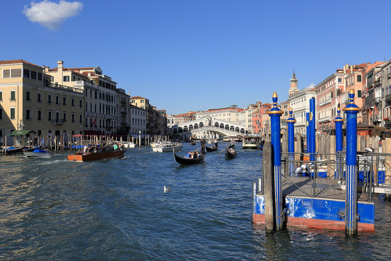
  • The Rialto Bridge spanning the Grand Canal, with gondolas on the water

    Chart I

    The Grand Canal

    Nearly four kilometres of palaces, landing stages and traffic, crossed by only four bridges. How to read its façades and ride its full length.

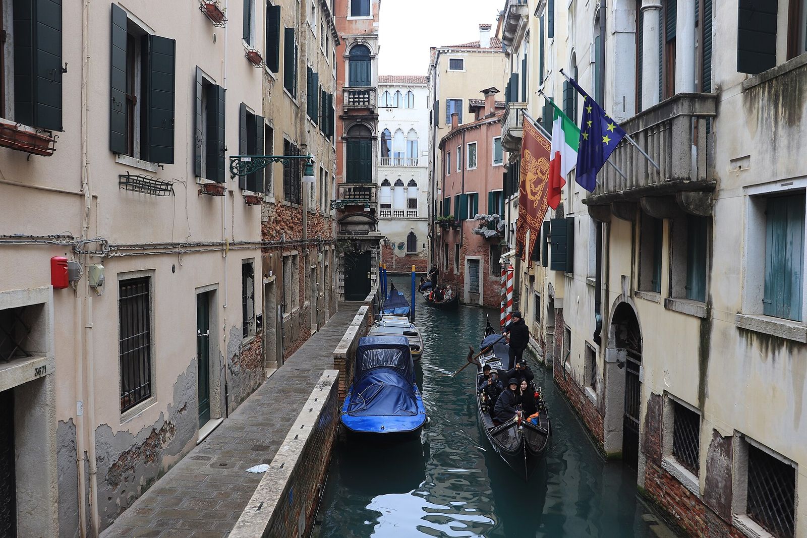
  • A gondola gliding along the narrow Rio de la Verona between old house walls

    Chart II

    Canals & rii

    The narrow side canals are the city’s back streets. Why some have a quay on one side and blank walls on the other, and why some were filled in.

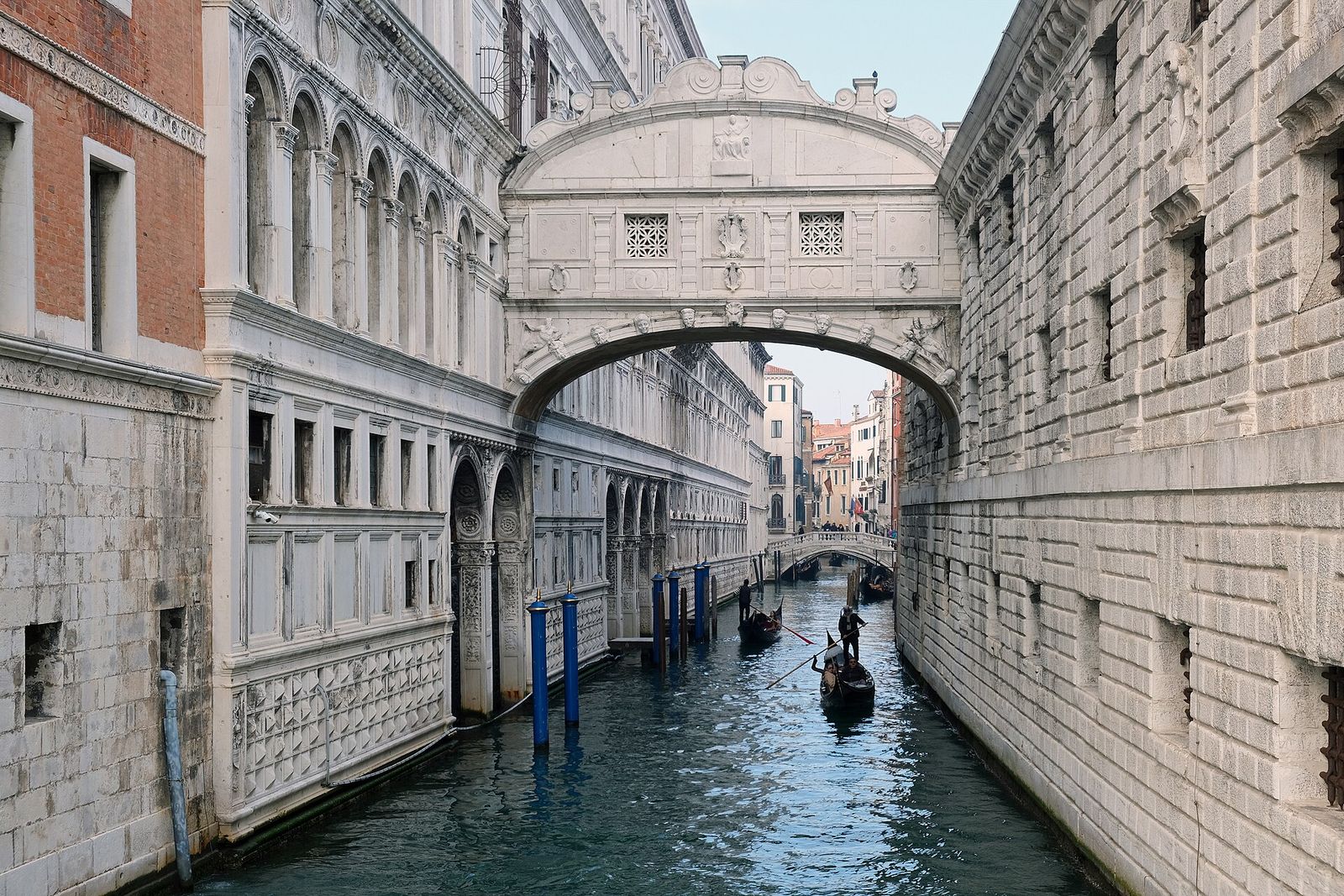
  • The Bridge of Sighs, an enclosed white limestone bridge above a canal

    Chart III

    Bridges

    From the last bridges without parapets to the Rialto and the Bridge of Sighs: how Venetians crossed their water, and the stories some bridges keep.

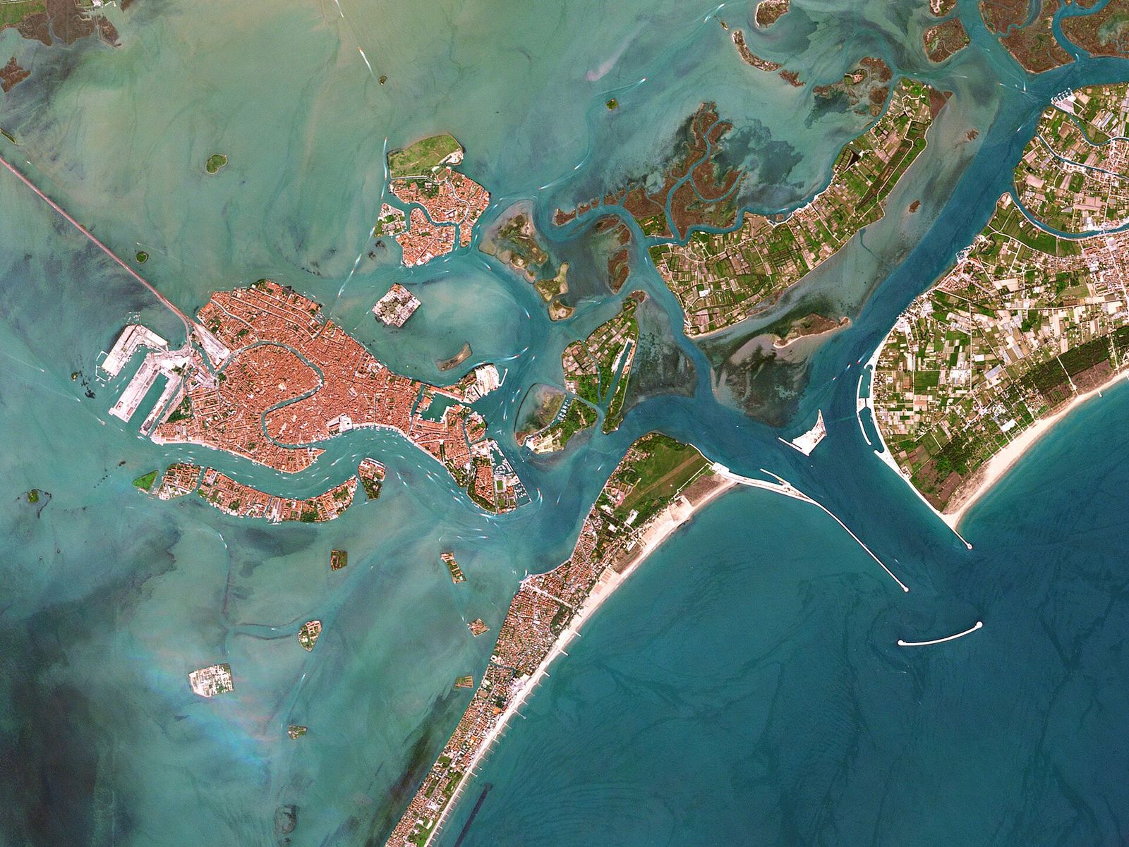
  • Satellite image of the central Venetian Lagoon with the historic city and the Lido

    Chart IV

    The lagoon & its rivers

    A shallow basin of mudflats, salt marsh and channels, shaped by rivers that the Venetians spent centuries pushing away from the city.

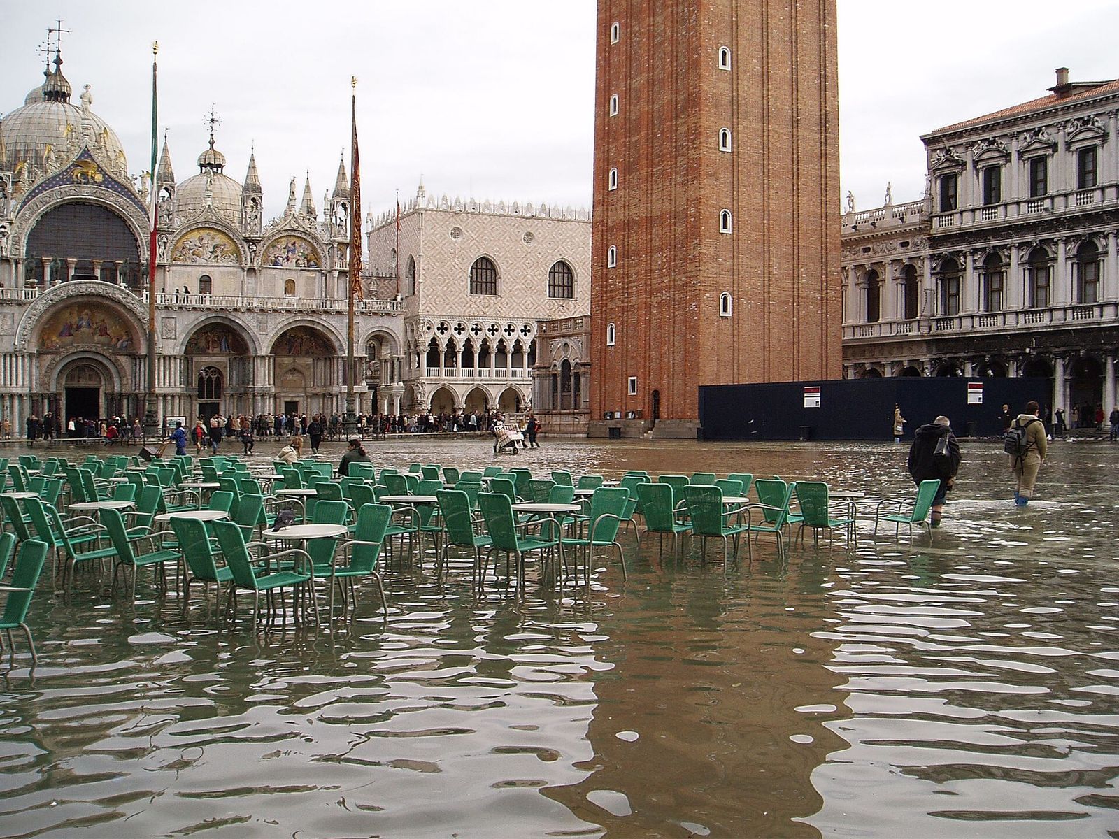
  • Piazza San Marco flooded during acqua alta, with the basilica behind

    Chart V

    Tides, acqua alta & MOSE

    Why the sea rises into the streets in autumn and winter, how the city warns its residents, and what the mobile barriers at the inlets do.

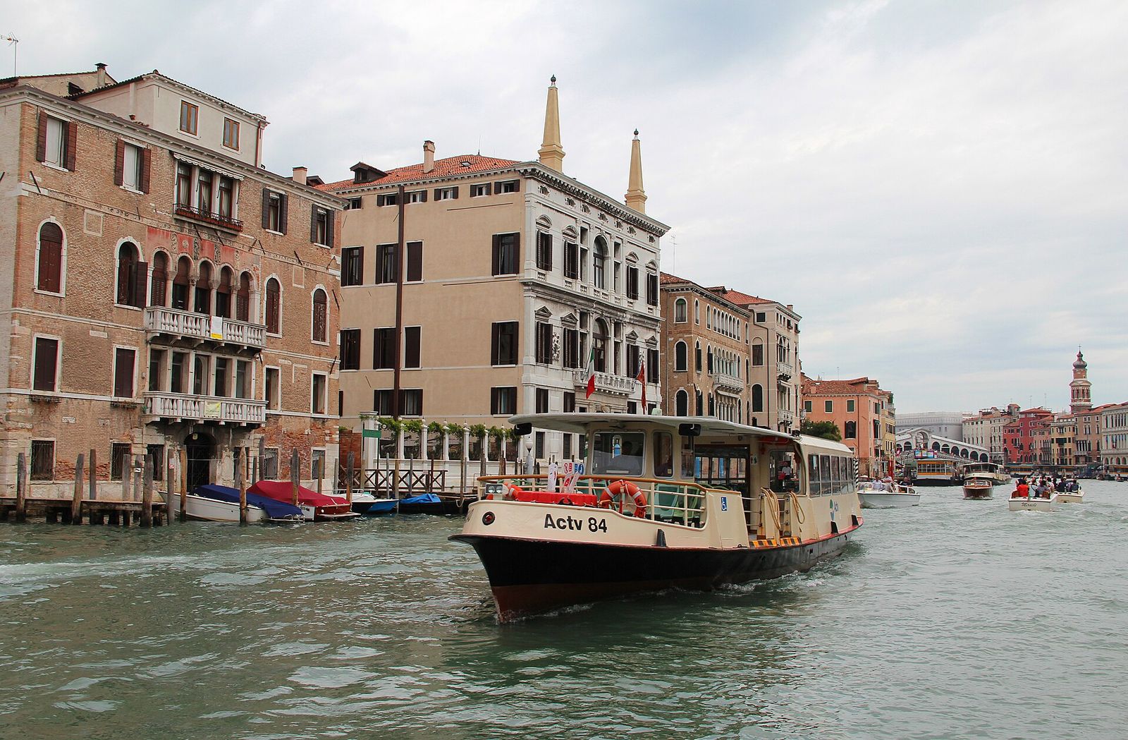
  • A vaporetto water bus on the Grand Canal, with the Rialto Bridge in the distance

    Chart VI

    Getting around by water

    Water buses, gondola ferries and walking routes: a practical guide to moving through the city and out to the islands.

Schematic map of the Venetian Lagoon Schematic chart, not to scale. The historic city of Venice lies in the middle of the lagoon, joined to the mainland at Mestre by a causeway. Murano, Burano, Mazzorbo and Torcello lie to the north, Giudecca and San Giorgio Maggiore just south of the city. The Lido and Pellestrina are long sandbars between the lagoon and the Adriatic, separated by three sea inlets: Lido, Malamocco and Chioggia. Numbered dots link to the island pages. 1Murano Mazzorbo 2Burano 3Torcello 4Lido Pellestrina 5Giudecca 6San Giorgio
Schematic chart of the Venetian Lagoon, not to scale. Numbered dots link to the island pages.

Chart of the lagoon

Where everything sits

The historic city lies near the middle of the lagoon, joined to the mainland only by a long road and rail causeway. To the east, three gaps in the sandbars let the Adriatic in and out with every tide. The islands most visitors cross to are scattered north and south of the city: select a numbered dot, or use the list, to open its page.

  1. MuranoGlass island, a short hop north of the city
  2. Burano & MazzorboPainted houses and lace in the northern lagoon
  3. TorcelloThe early settlement, now almost empty
  4. Lido & PellestrinaSandbars between the lagoon and the open sea
  5. GiudeccaThe long island facing the Zattere
  6. San Giorgio MaggiorePalladio’s church across the basin from St Mark’s

All islands of the lagoon

Across the water

Islands worth the crossing

Each of these islands has a character of its own, and most are served by the regular water buses. Allow more time than the map suggests: the farther you go, the less often the boats run.

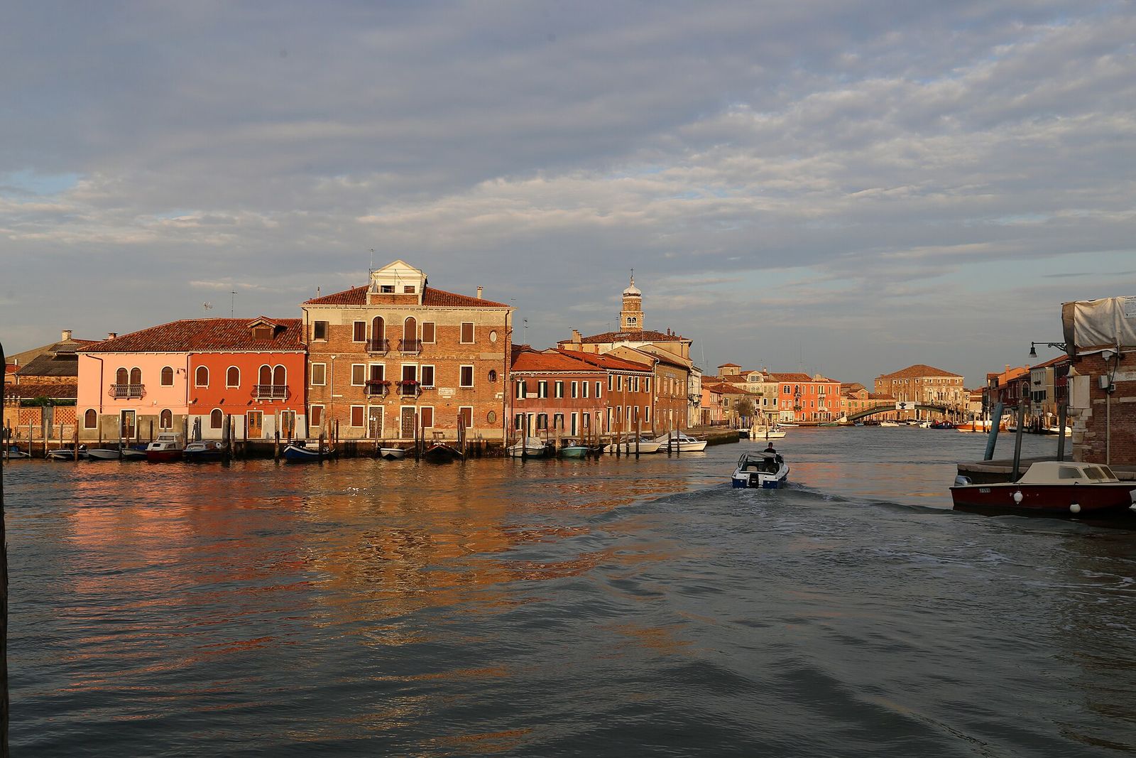
  1. Murano’s Grand Canal in low evening sun, with brick and pastel houses along the water

    About 1.5 km north of the city

    Murano

    Seven small islands joined by bridges, where Venice moved its glass furnaces in 1291 to keep fire away from the city. Beyond the workshops, look for the arcaded brick apse of Santi Maria e Donato and its twelfth-century mosaic floor.

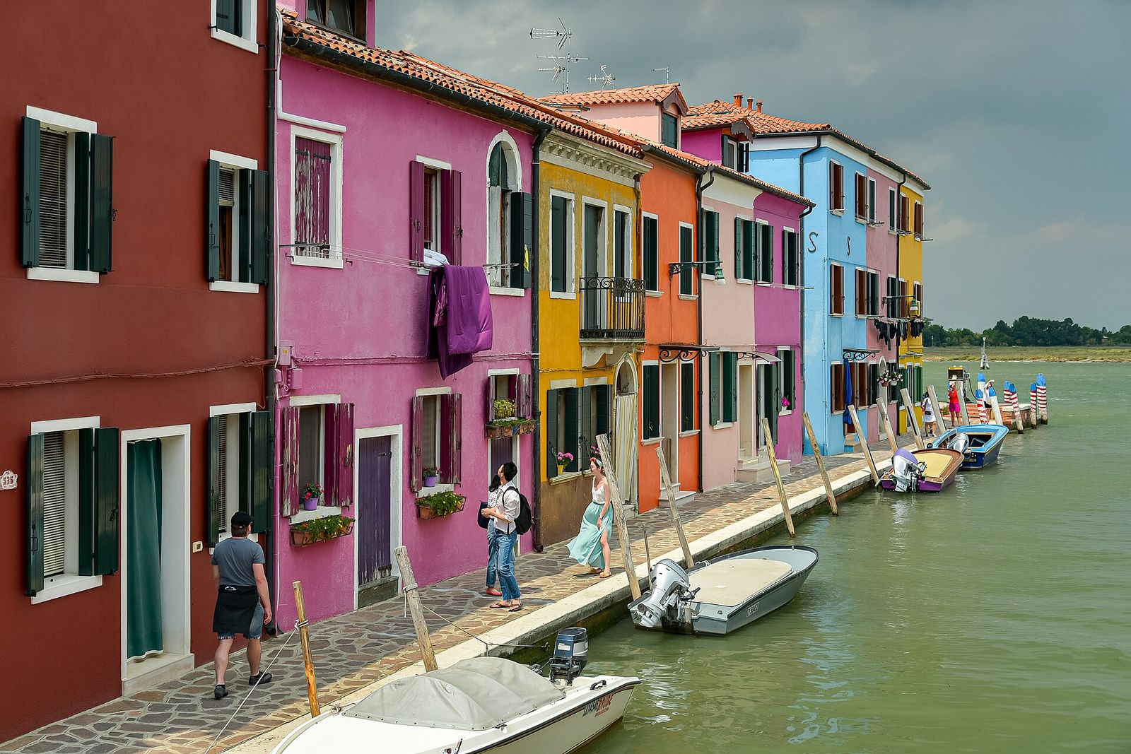
  2. Brightly painted houses in red, pink, yellow and blue along a canal on Burano

    Northern lagoon, about 7 km from Venice

    Burano & Mazzorbo

    A fishing island known for its lace and for houses painted in strong, deliberate colours, with a leaning bell tower above the rooftops. A long footbridge leads to quieter Mazzorbo, with its vineyard and kitchen gardens.

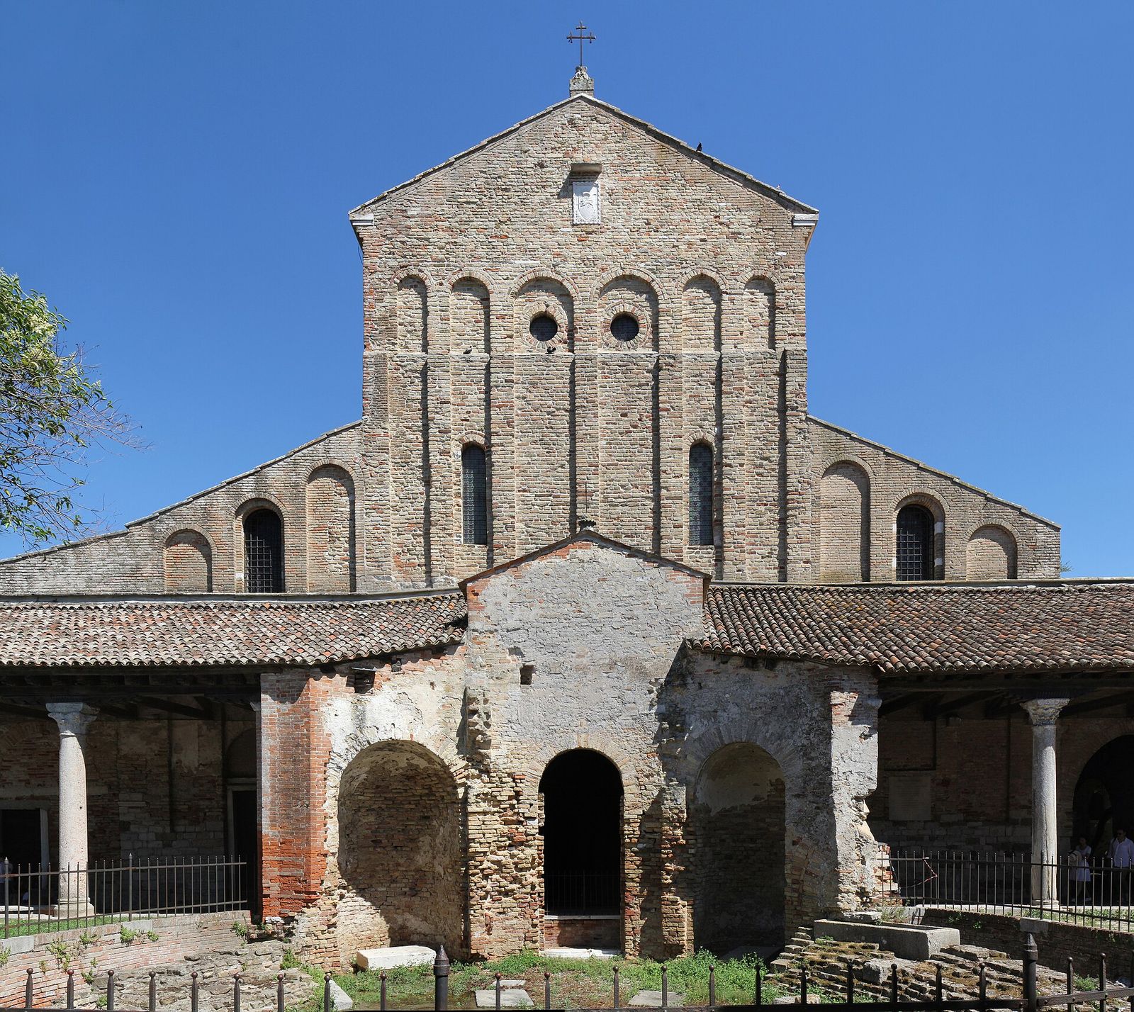
  3. The plain brick façade of the Cathedral of Santa Maria Assunta on Torcello

    Beside Burano, in the far north

    Torcello

    Once one of the busiest places in the lagoon, it now has only a handful of residents. Its cathedral, founded in 639, holds a great Byzantine mosaic of the Last Judgement.

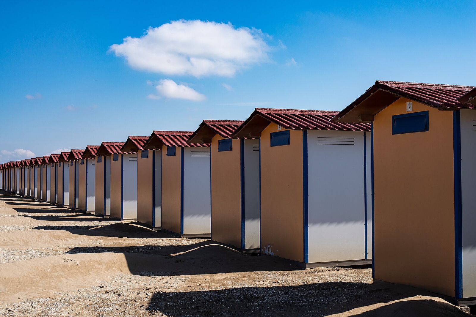
  4. A long row of beach cabins with red roofs on the sand at the Lido

    The 11 km sandbar facing the Adriatic

    Lido

    A barrier island with beaches on the sea side, tree-lined avenues, Liberty-style villas and the city’s film festival at the end of every summer. Unlike the historic centre, it has cars and buses.

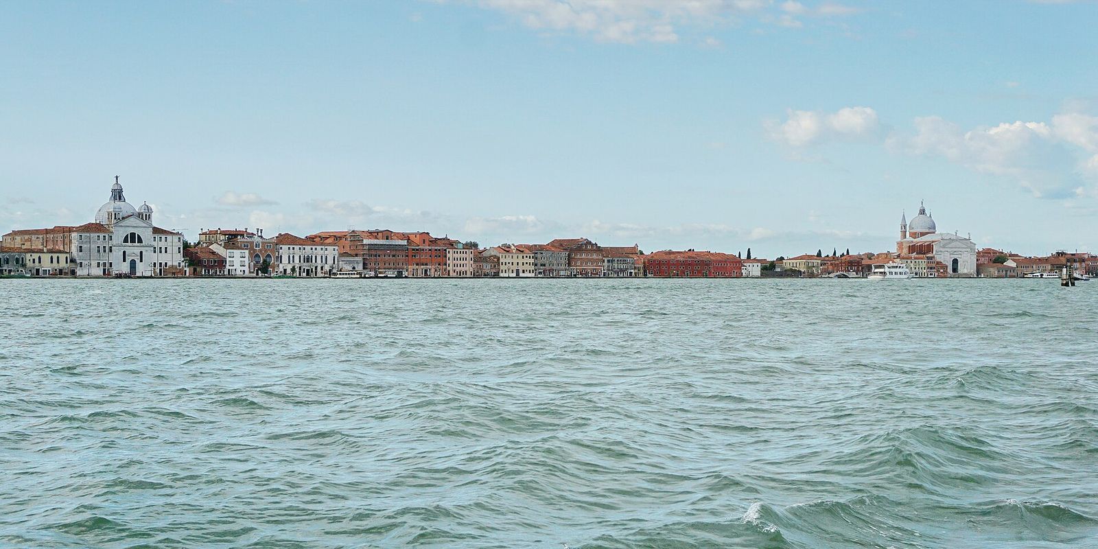
  5. The Giudecca waterfront across the Giudecca Canal, with the Redentore on the right

    Across the Giudecca Canal from Dorsoduro

    Giudecca

    A long, residential island of former factories, boatyards and gardens. Palladio’s Redentore faces the city, and in July a temporary pontoon bridge links it to the Zattere for the Redentore festival.

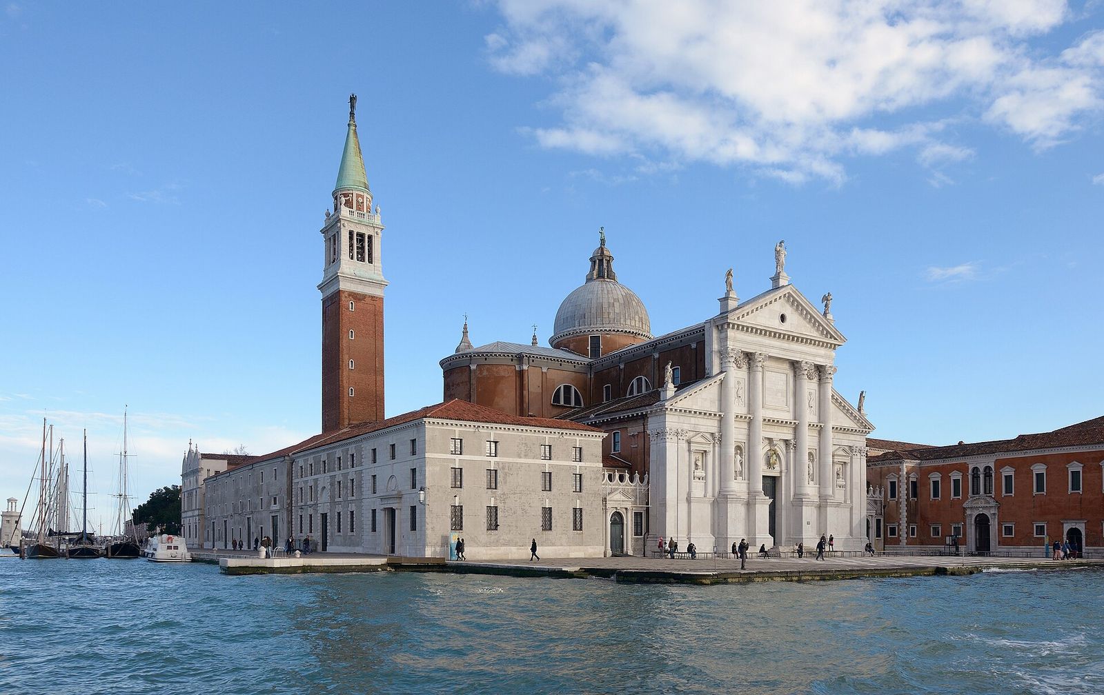
  6. Palladio’s church of San Giorgio Maggiore and its tall bell tower, seen from the water

    Facing St Mark’s across the basin

    San Giorgio Maggiore

    An island given over almost entirely to Palladio’s white church and its former monastery. The bell tower offers one of the best views back over the city and the lagoon.

Venetian words

Reading the water

A few local words make the city much easier to read. Street signs, maps and boat announcements use them all the time; the glossary has many more.

rio noun
A canal. Only the Grand Canal, the Giudecca Canal and a few other major waterways are called canale; almost every other one is a rio.
rio terà noun
A canal that has been filled in and turned into a street. The name tells you there was water here once.
fondamenta noun
A paved quay running along a canal. Where a rio has no fondamenta, the houses rise straight out of the water.
sotoportego noun
A covered passage that runs under a building, often leading to a canal or a small courtyard.
bricola noun
A cluster of wooden piles bound together, marking the edge of a navigable channel in the open lagoon.
acqua alta noun
An exceptionally high tide that floods the lowest parts of the city, most often between autumn and early spring.

Open the glossary

Practical notes

Before you cross

  1. Check the tide before you set outIn the colder months a high tide can flood low-lying areas for a few hours. The city publishes tide forecasts and sounds sirens when acqua alta is expected; waterproof boots help, and raised walkways go up along some main routes.
  2. Read the stop, not just the lineA water-bus stop (fermata) often has several floating platforms, and the same line may call there in both directions. Check the platform sign for the line number and its destination before you board.
  3. Let people off, then board brisklyBoats stop only briefly. Wait to one side while passengers get off, take large backpacks off your shoulders and keep luggage out of the gangway.
  4. Pair the islands sensiblyBurano and Torcello lie close together in the northern lagoon and combine well, and Murano is easy to add on the way. The Lido and Pellestrina make a separate, slower day.
  5. Keep the city’s rules in mindSwimming in the canals is forbidden, and local rules restrict picnicking and sitting on monuments in parts of the centre. Keep right in narrow alleys and do not stop in the middle of a bridge.
  6. Check official sources close to your tripTimetables change with the seasons, and access rules for day visitors have changed in recent years. Look at the official information from the City of Venice and the public transport operator shortly before you travel.

Deeper water

History and tides

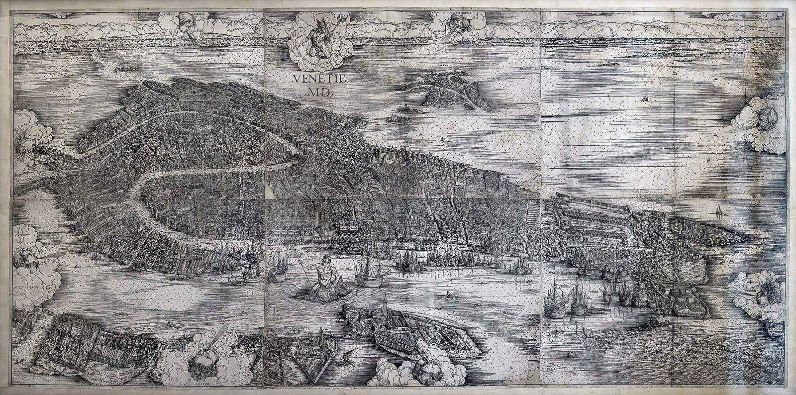
Jacopo de’ Barbari’s woodcut bird’s-eye view of Venice dated 1500, showing the city, the Giudecca and the lagoon from the south
Jacopo de’ Barbari, Venetie MD, woodcut, 1500

A history written on water

From refugees on marsh islands to a maritime republic that dominated the Adriatic for centuries, the story of Venice is a story of managing water: digging, dredging, diverting rivers and defending the sandbars. Jacopo de’ Barbari’s great woodcut of 1500 shows the city near the height of its power, with every canal and campanile in place.
Read the history

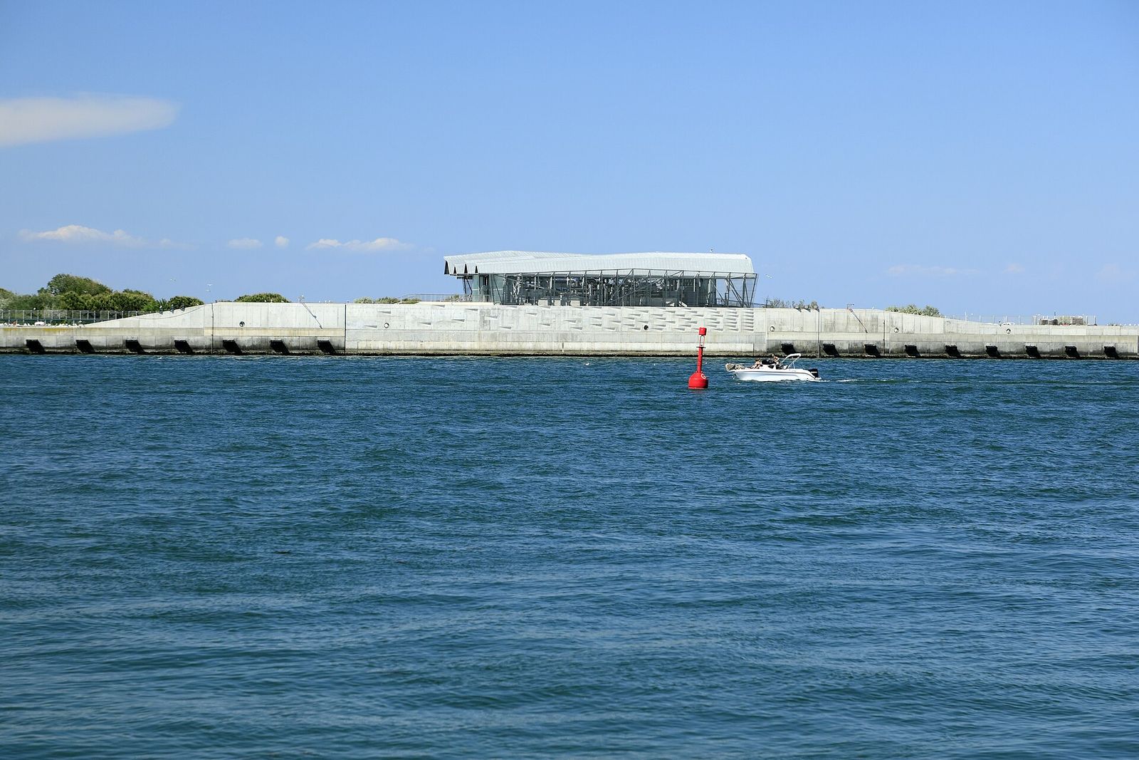
The MOSE flood-barrier installations at the Chioggia inlet: a long concrete embankment topped by a modern building, seen from the water
MOSE installations at the Chioggia inlet

Tides, acqua alta and MOSE

The Adriatic rises and falls in the lagoon roughly twice a day. When wind, low pressure and a high tide coincide, the water climbs into the squares and alleys. Since 2020, rows of mobile gates at the three inlets can be raised to hold back the worst tides; the tides chapter explains how the system works and what it means for visitors.

Understand the tides